Oxley Trails
Scroll Down
For Trail Maps & Descriptions
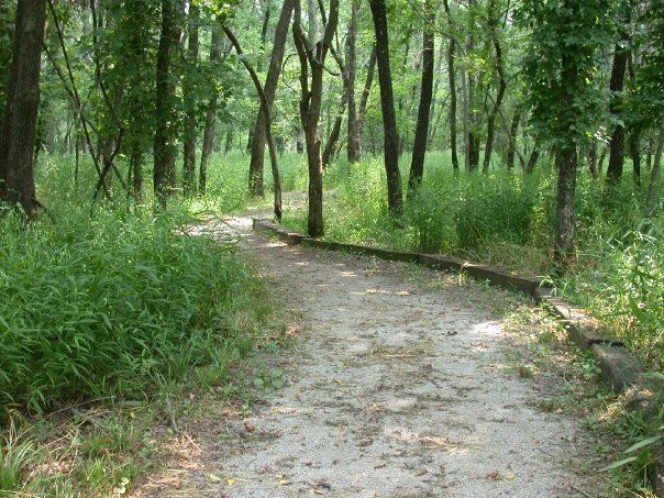
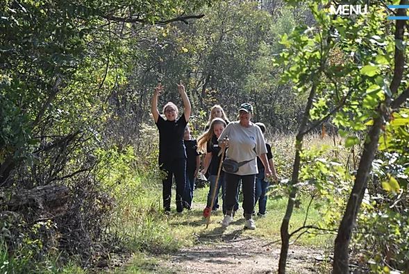
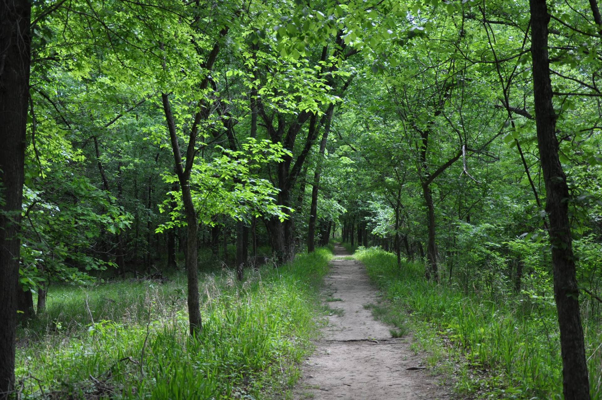
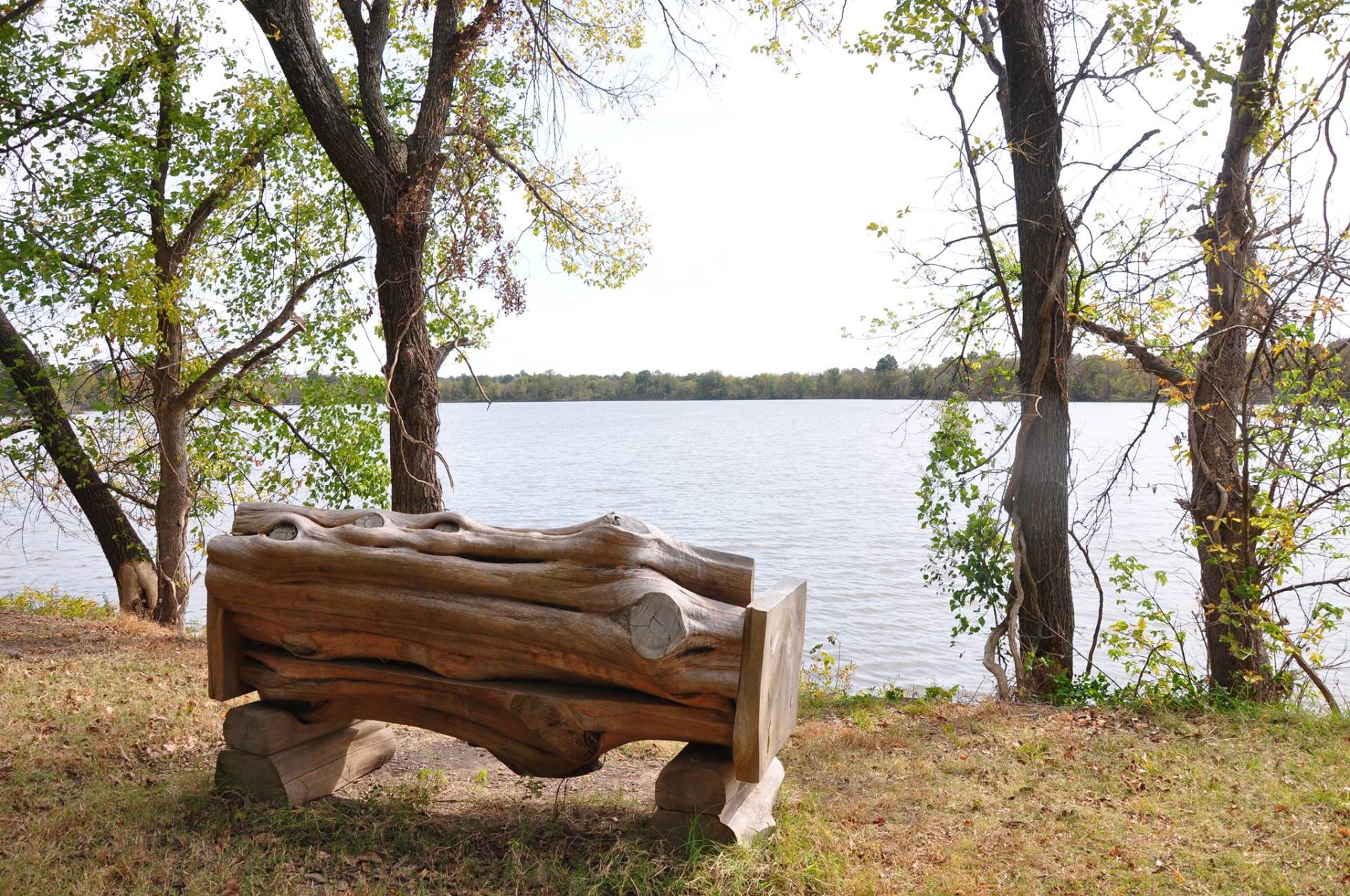
Your visit should include hiking at least one of the trails that allow access to the forests, fields, and wetlands of the Nature Center.
Oxley Nature Center's trails may be hiked seven days a week, year-round. The trails are closed to the public during Mohawk Park's curfew hours: 9:00 pm. to 7:00 a.m. You may park outside the gates when closed. Gates at the gray stone pillars lock at 5:00 p.m. Mohawk Park closes at 9:00 p.m.
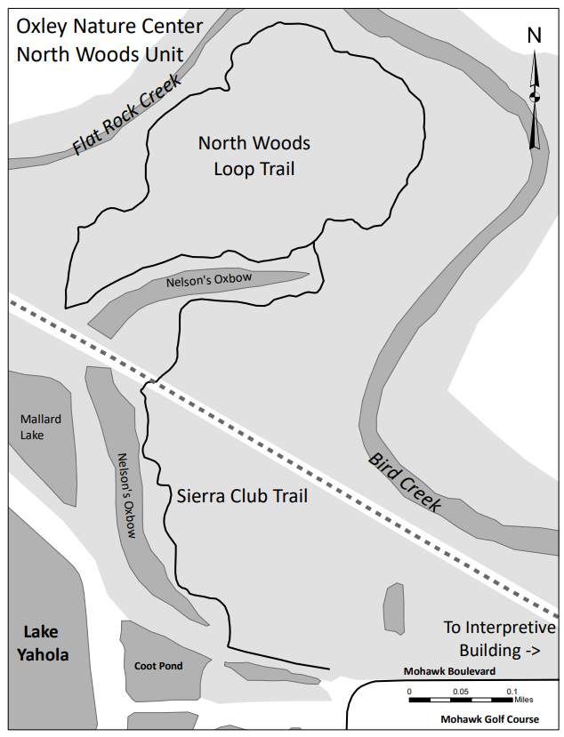
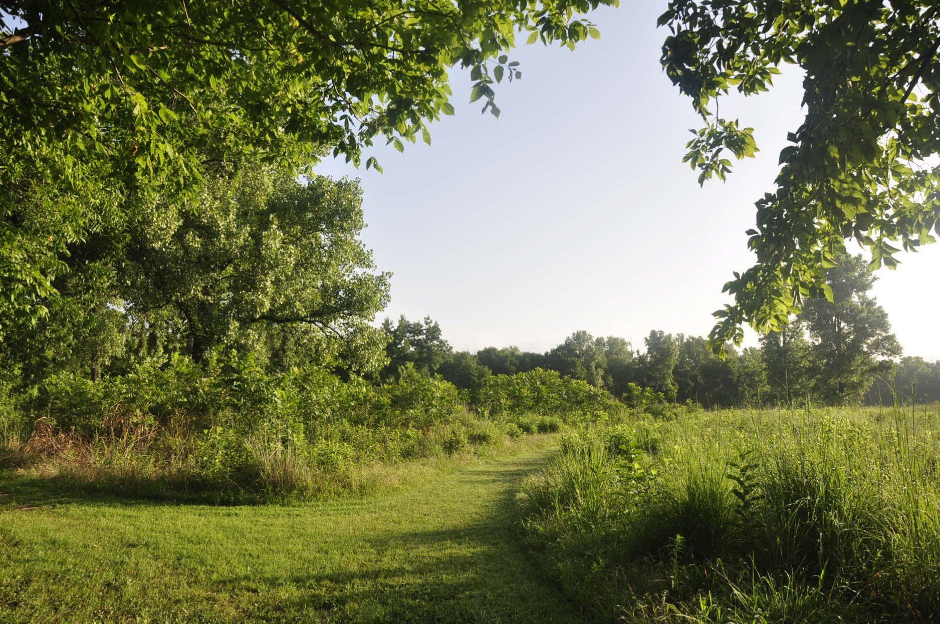
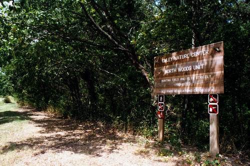
The trail system is comprised of many individual loops and stretches of trail linked together. The main part of the trail system centers around the Interpretive Building. A second set of trails, the North Woods Unit, may be found northwest of Mohawk Park's Golf Course and northeast of Lake Yahola.
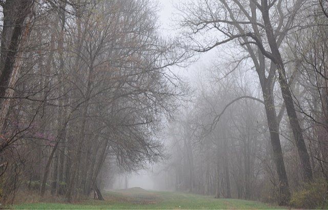
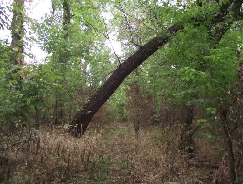
There are nearly nine miles of trails. Most of them are flat and fairly smooth. Wheelchairs and strollers may be taken down many of the trails unless rain has made the dirt or grass surfaces too soft or muddy. The trails are not set up for horses or bicycles or vehicles of any kind.
Regulations per City of Tulsa, Title 26
- Pets, bicycles and motorized equipment are prohibited on trails.
- Firearms, fireworks, hunting, and trapping are prohibited in the park.
- Plants, wildlife, and all natural features are protected.
- Boating is prohibited in Mohawk Park.
- Fishing, with appropriate permits, is allowed anywhere except B.J.’s Pond and Blackbird Marsh.
- Commercial photography requires a permit.
- Be considerate of others. Keep noise low.
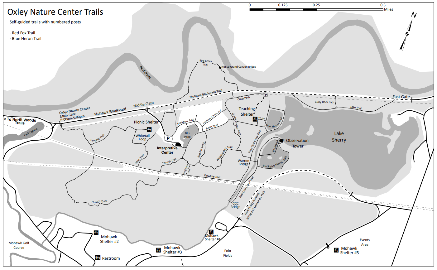
Complete Oxley Trail Map
Click here for a complete, full size trail map (PDF format)
The central area of this map is shown below.

Trail Descriptions
Red Fox Trail
Level gravel wooded trail with numbered posts for self-guided sensory awareness tour. Two connector trails lead to the Flowline Trail, and 0.24 mi Bob’s Trail connects Red Fox Trail to Blue Heron Trail. 0.34 miles.
Green Dragon Trail
Named after the Green Dragon wildflower, this mostly level dirt trail wanders through a pin oak-pecan forest, from Woodpecker Trail to Mohawk Blvd. Stairs at north end. Green dragon is a wildflower. 0.23 miles.
Meadowlark Prairie Trail
A Level grass trail winding through tall grasses and prairie flowers. A good place to look for butterflies in summer and sparrows in winter. 0.41 miles.
Blue Heron Trail
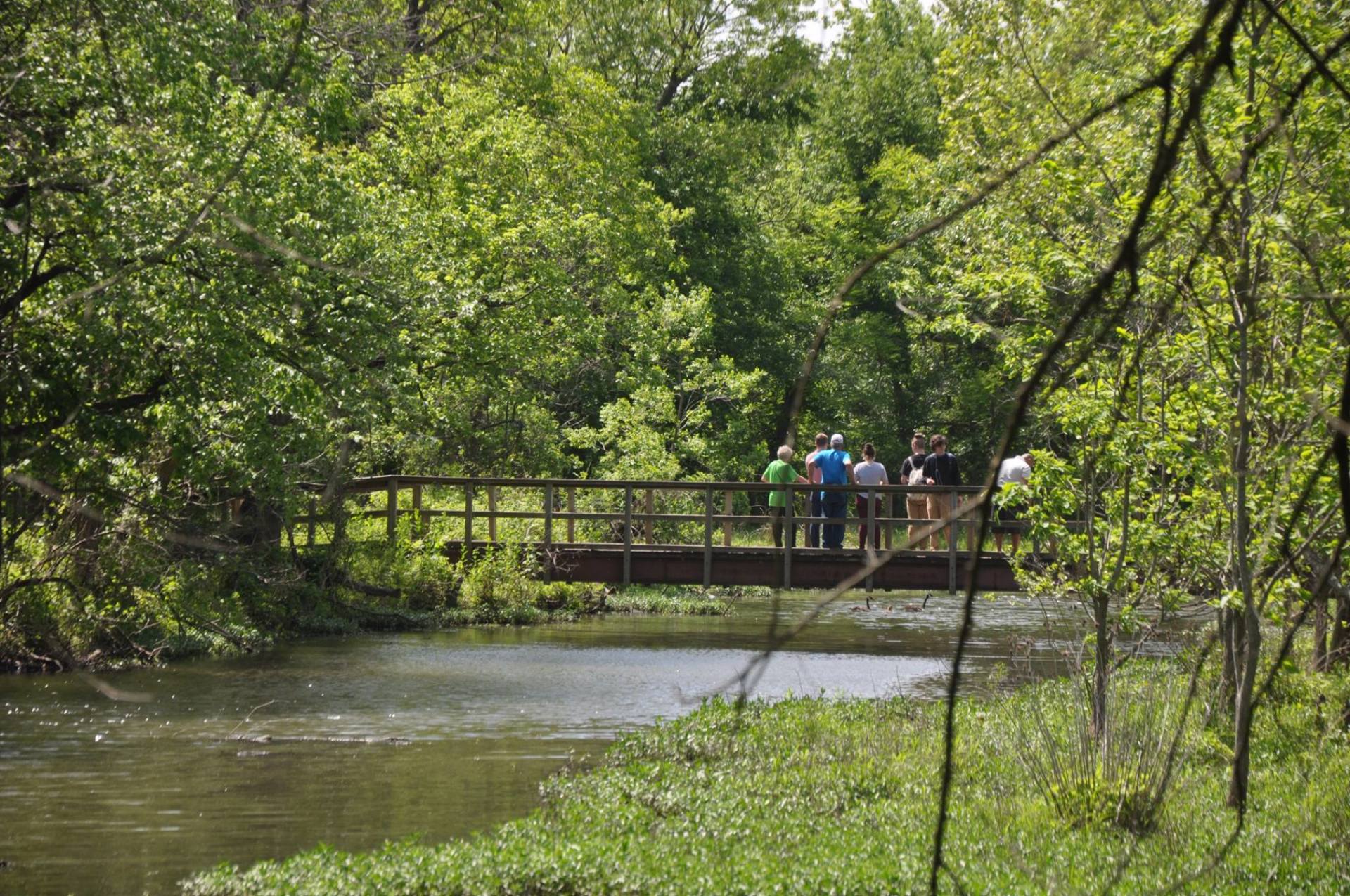
Level dirt trail with posts for self-guided tour, taking you through a transitional zone between two communities: forest and wetlands. with bird blinds overlooking Lake Sherry. It follows a raised trail surrounded by low spots, the site of an old fish hatchery that operated until the 1940's. 0.29 miles.
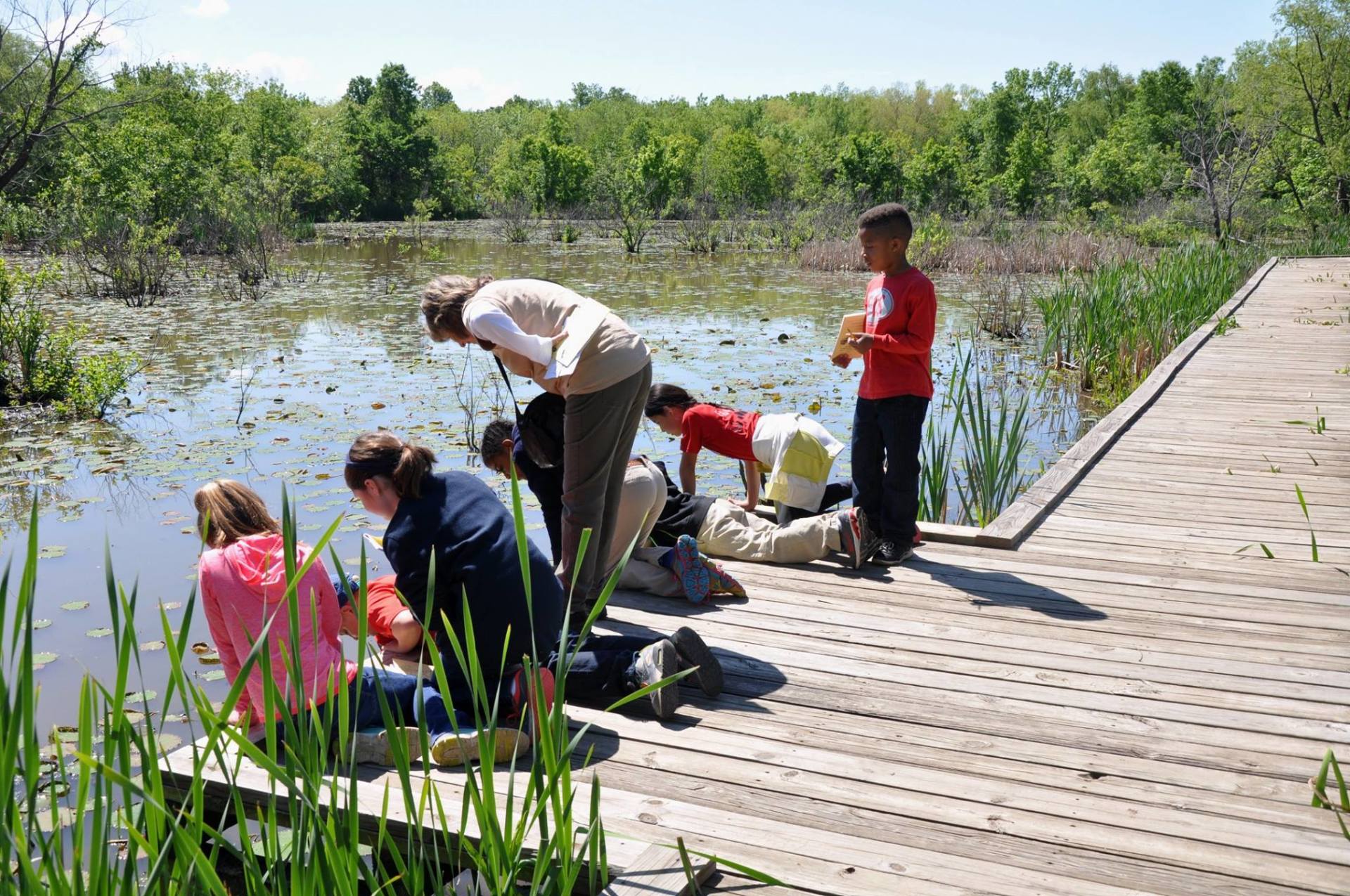
Blackbird Marsh Trail
A 600 foot boardwalk extends over the Blackbird Marsh allowing "hands-on" investigation of aquatic plants and animals.
At the north end of Coal Creek Trail East, the Observation Tower is the start of the .12 mi boardwalk and the .25 mi trail. Muskrat tunnels can put challenging potholes in the level trail. 0.37 miles.
Bob's Trail
Named after founding naturalist Bob Jennings, this trail connects the Red Fox Trail with the Blue Heron Trail and Lake Sherry.
A level grass trail, along the woods’ edge above the City’s water lines from Lakes Eucha and Spavinaw. 0.58 miles.
Woodpecker Trail
A level dirt, often muddy wooded trail. Animal tracks indicate that wildlife use the convenience of trails, too. 0.27 miles.
Bird Creek Trail
A trail winding through deep woods alongside Bird Creek. Many large, old trees grow here. Steps drop downhill to the “Not-So-Grand Canyon” bridge, and would be challenging for wheelchairs and strollers. Connects to the Green Dragon Trail. 0.63 miles.
Lake Trail
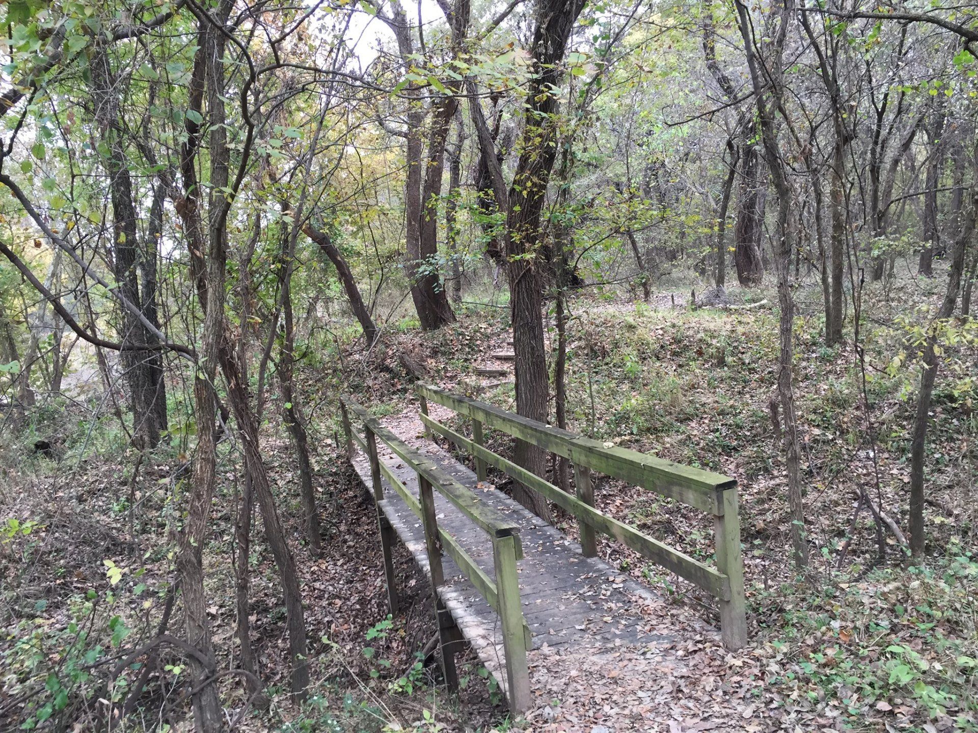
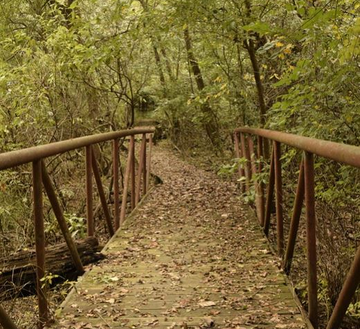
A Level gravel trail that borders Lake Sherry. Herons and water fowl may be viewed along the shore. You may return using 0.39 mi of Mohawk Blvd. A 263’ connector trail cuts over to Mohawk Blvd near the halfway point, spanning a wet area via a bridge, steps, and boardwalk. 0.42 miles.
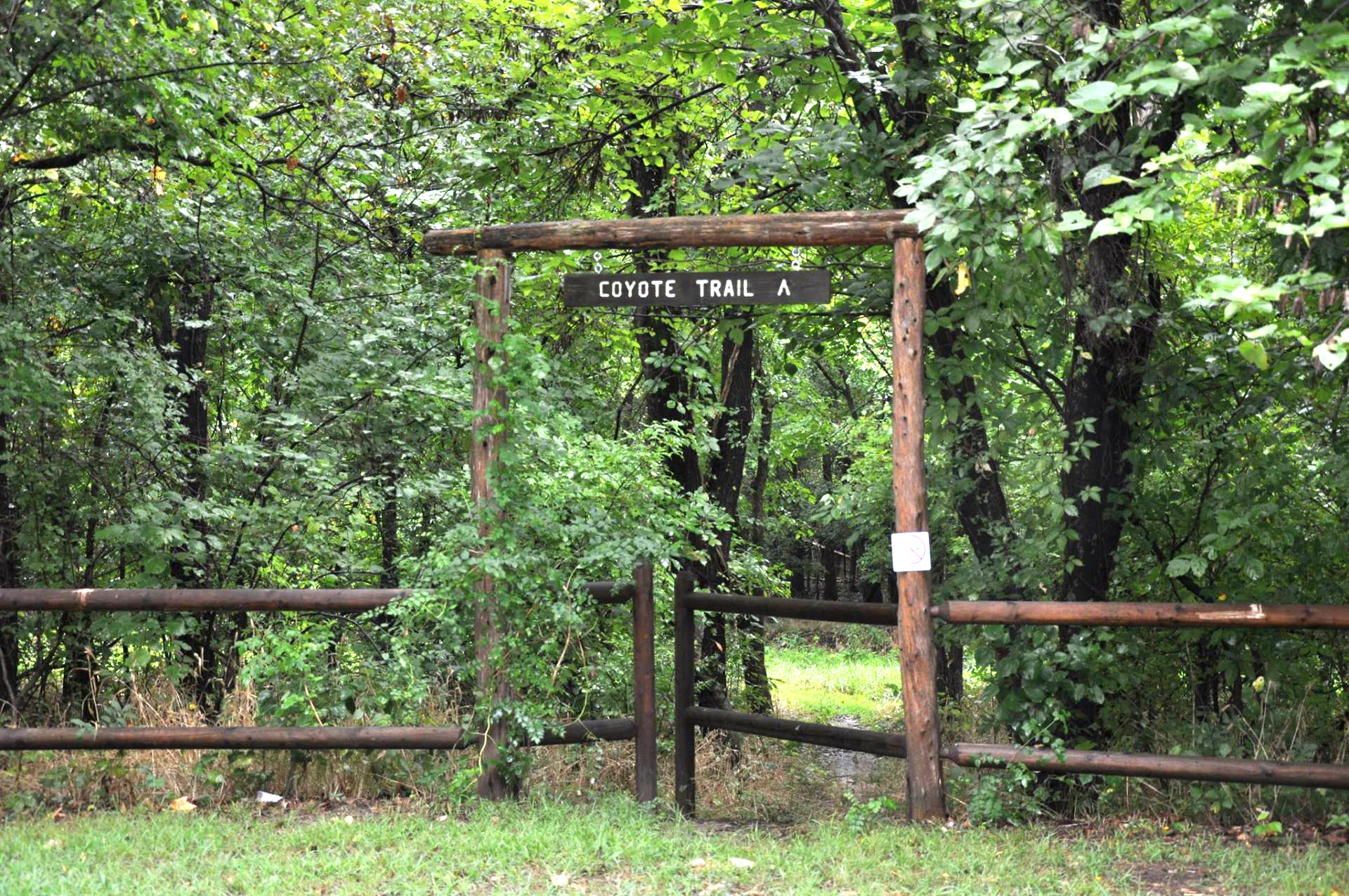
Coyote Trail
Level trail connecting the front gate with the main core of trails. Can be wet. This was a low open field in Aug 1974 when the Nature Center was established. 0.38 miles.
Whitetail Trail
Level trail winding from the Picnic Grove through the former tree nursery to the Flowline. Watch for deer! 0.29 miles.
North Woods Oxbow Lake Trail
This trail starts at the NW corner of Mohawk Golf Course. Go west along a dike toward Lake Yahola. The trail turns north down a set of steep steps. It is narrow and uneven as it goes between Nelson’s Oxbow and Mallard Lake to a three-way intersection on a cleared utility line. 0.60 miles.
North Woods Loop Trail
At the 3-way intersection of the Oxbow Lake and Sierra Club Trails a level but uneven trail goes northeast into the Nature Center’s “wilderness” area. Riparian woods undergo regular cycles of floods. 1.11 miles.
North Woods Sierra Club Trail
A set of steep steps (the “Baby Grand Staircase”) leads down from Oxbow Lake Trail. On its way to the 3-way intersection, the level, uneven trail goes through an oak-hickory forest very similar to parts of Redbud Valley. 0.42 miles.
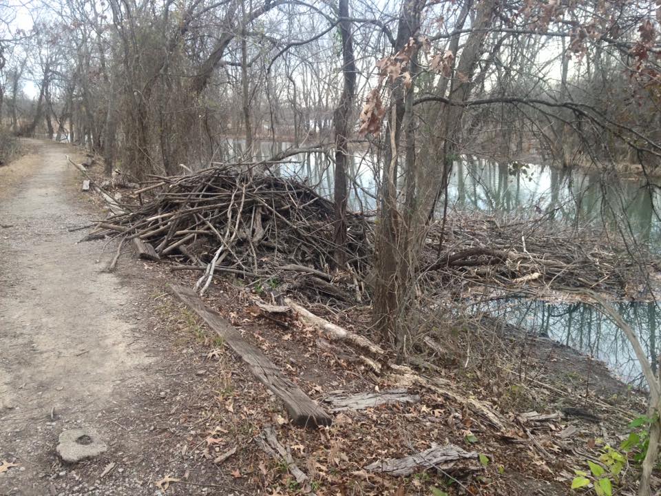
Coal Creek Trail & Bridge
Level trail but rough in places, along the east and west sides of Coal Creek. The original CCC rockwork is visible in the trail on the north end of Coal Creek West. 0.71 miles.